Why Aerial Documentation Beats a Ladder and a Phone
A few weeks back, a buyer sent me a folder of photos for a parcel near Lake Norman he was about to put under contract. Fourteen shots, all taken from the driveway with a phone. You could see a building, some trees, a slice of gravel. What you couldn't see was where the lot actually ended, how the neighboring property drained toward it, or that the back third sat low enough to hold water after a storm. One twenty-minute flight answered every one of those questions.
That's the problem with most property photos. They get taken from wherever a person happens to be standing. Fine for quick reference. Useless for the one thing decisions actually depend on, which is context.
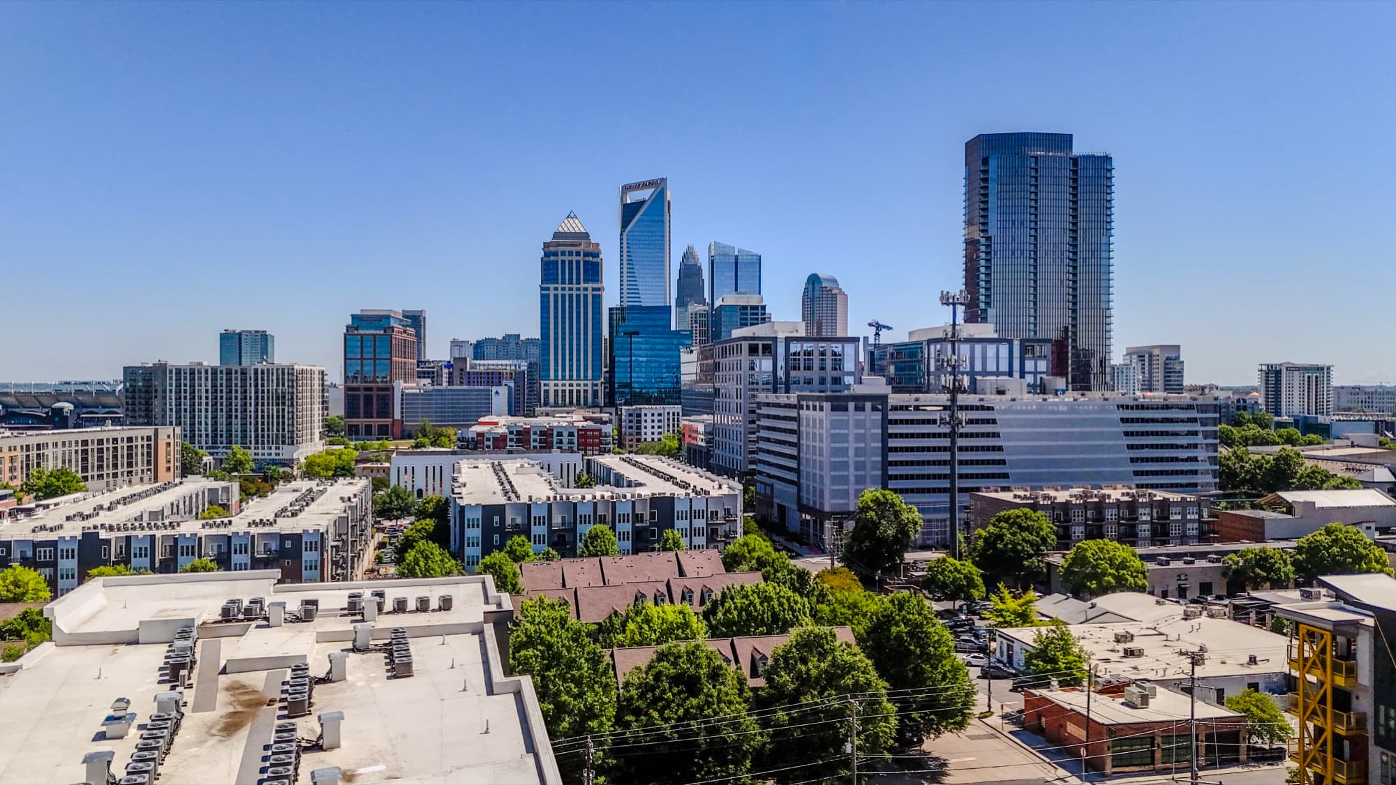
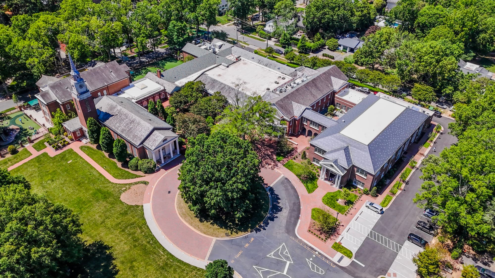
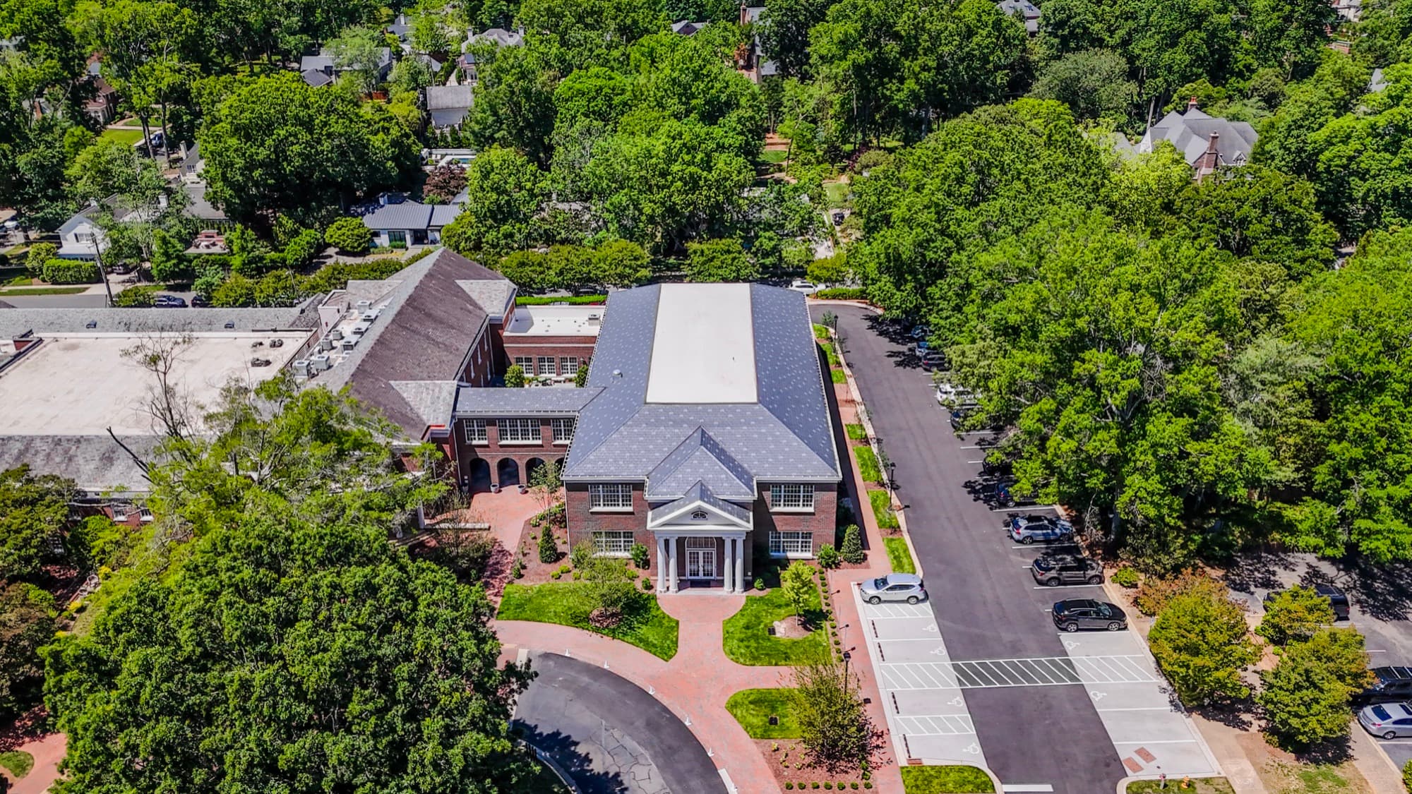
What changes at 200 feet
From the air, a parcel stops being a series of disconnected snapshots and turns into one legible scene. You see scale. You see how a building sits relative to setbacks, drainage, access roads, and the lots around it. A whole roof or a full parking field fits in a single frame instead of a dozen, so nobody's mentally stitching photos together trying to figure out what connects to what.
You also gain a record. A dated aerial from today becomes the reference you compare against next spring, and the spring after that. I've watched clients pull up a flight from a year earlier to settle a question nobody knew they'd have when I took it.
Pretty versus useful
I care a lot about how my photos look. On a marketing shoot I'll wait for golden hour and fuss over color grading until the light feels right. Documentation is a different job. The best documentation work has nothing to do with the prettiest shot. It's about showing the thing a stakeholder needs to understand without driving to the site. So I shoot it flat and even. Straight-down frames, overlapping coverage, no dramatic angles. Boring on purpose. Then I edit it clean, so the colors are true and nothing in the frame distracts from the information.
The legal stuff
Flying this way takes more than owning a drone. I'm FAA Part 107 certified and fully insured, and a fair amount of Charlotte sits in controlled airspace, so I handle LAANC authorization before I ever show up. You get the files. The paperwork is my problem.
Where this pays off
Site documentation is the quiet workhorse of what I do. Due diligence before a purchase. Insurance reference after a storm. A pre-construction record of existing conditions, back when the site was nothing but red clay and survey stakes. Listing media benefits from the same overhead clarity too, even though that work gets edited with a warmer hand. Because I plan each flight around what the team needs to see, the right angles get captured the first time instead of on a reshoot.
If you're squinting at ground-level photos trying to piece a site together, that's your signal. Get in the air. Email shane@sqoskyworks.com or call (704) 783-6767 and I'll walk you through what a flight would cover before you spend a dime.
Talk soon,
Shane
Ready to put your project in the air?
Get a free quote →