Waterfront property is made for aerial work. From the ground you can show a house. From the air you can show the house, the dock, the cove, and how the lot meets the water, all in one frame. That's the photo that sells a Lake Norman listing, and it's most of what brings me to Cornelius. Early evening light coming off the lake doesn't hurt either.
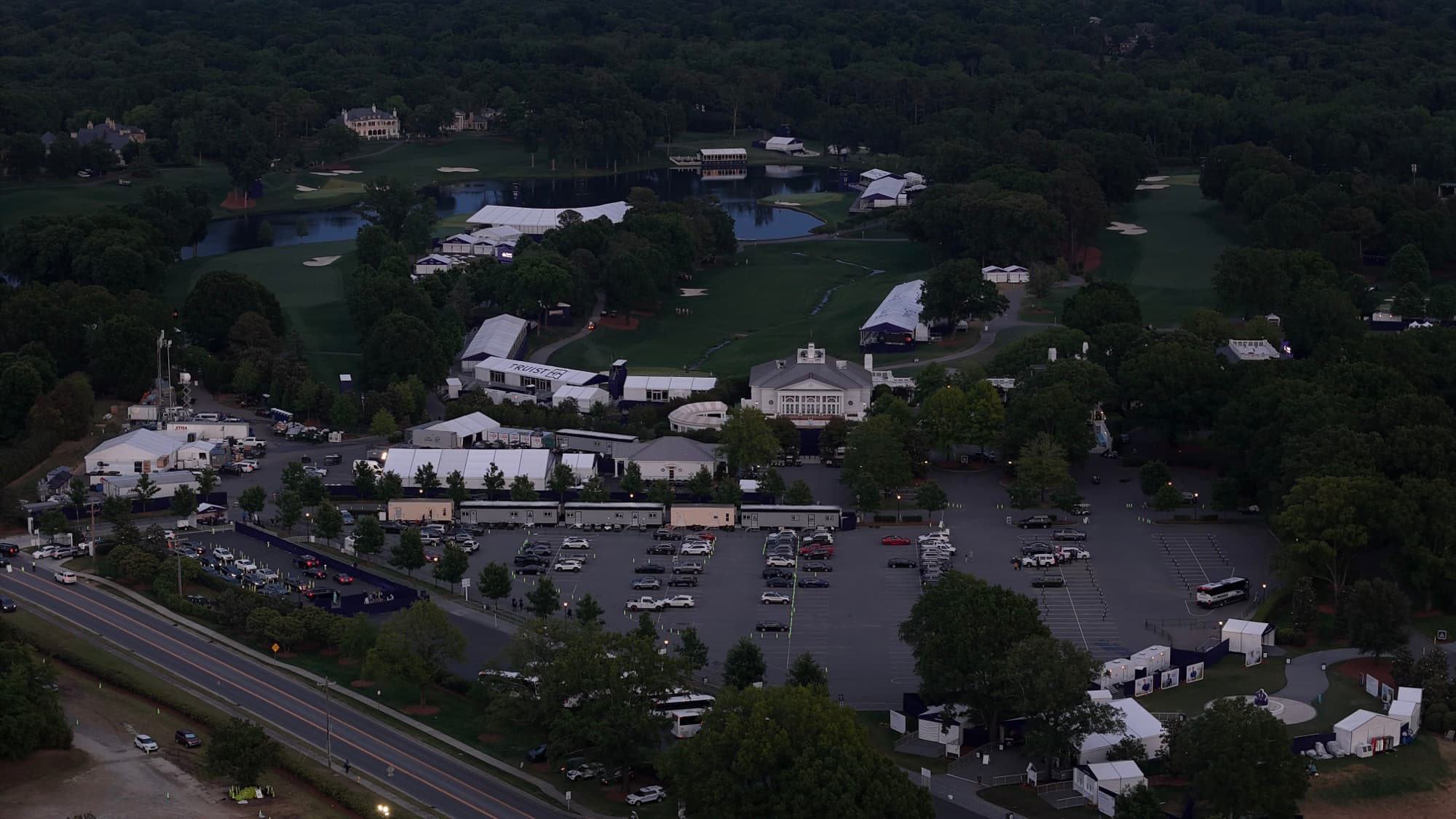
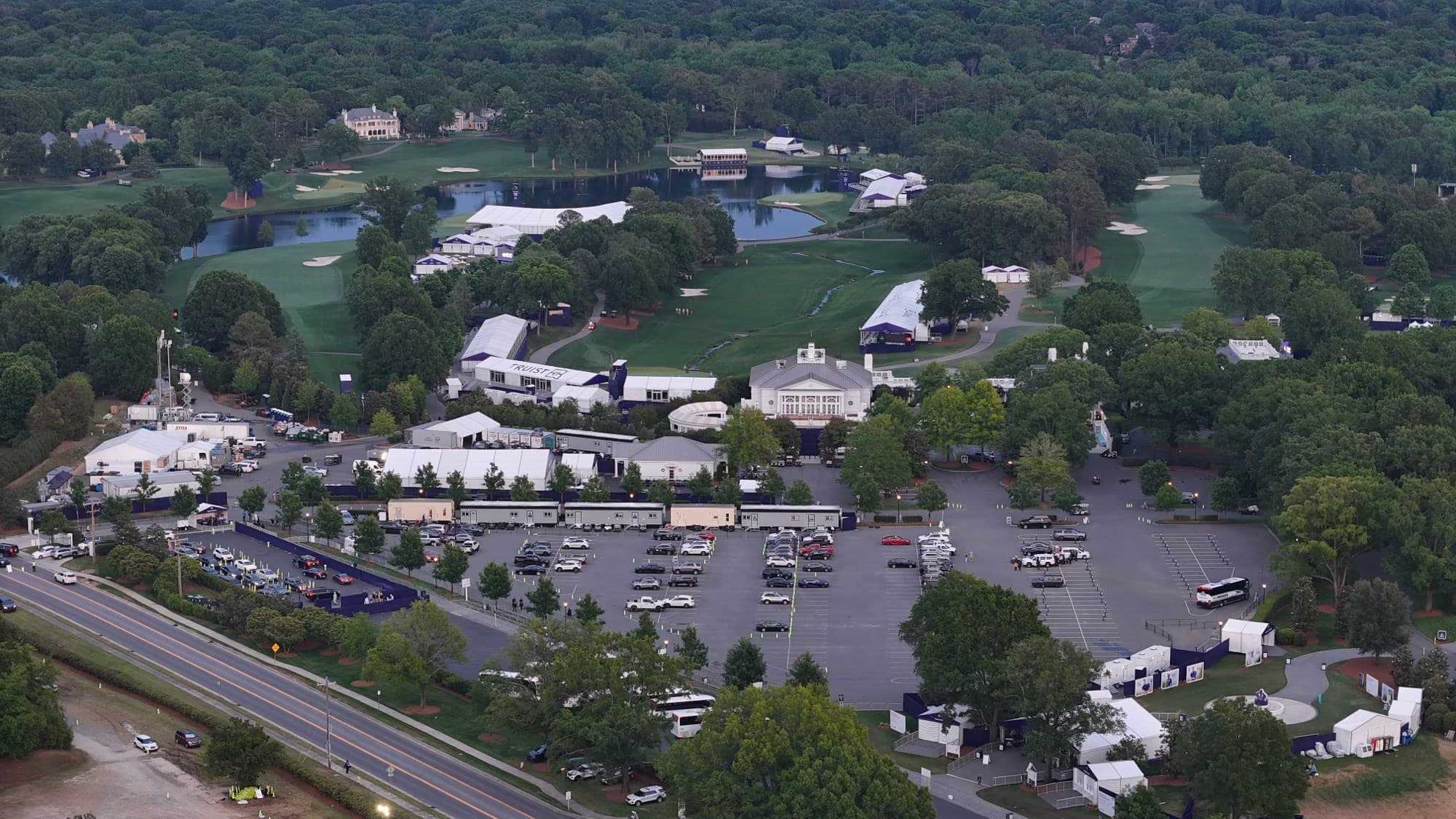
It's not all real estate, though. The I-77 corridor through town keeps adding commercial and mixed-use projects, and I document those builds the same way I do anywhere else: repeat flights, consistent angles, dated files. I plan each flight around the airspace and the shoreline conditions, then deliver edited stills and video you can use right away.
Cornelius is part of my Lake Norman run, along with Davidson, Huntersville, and Mooresville. I'm up here often, so scheduling a waterfront shoot around good light is usually easy to arrange.
What I fly in Cornelius
Cornelius drone services FAQ
Do you serve Cornelius, NC?
Yes. Cornelius is regular territory for me. I drive up from Charlotte for lakefront listings, construction sites, and commercial work along I-77.
Are your drone operations licensed and insured?
Yes. I'm an FAA Part 107 certified remote pilot and fully insured, and I plan every flight myself before I get in the truck.
What drone services do you offer in Cornelius?
Waterfront and residential real estate aerials, site documentation, construction progress, mapping and surveys, marketing media, and event coverage.
What do I receive when the project is done?
Finished, edited photos and video. For lakefront listings I take extra care with the edit, since water can look flat if you rush it. You get files ready to publish.
How do I request a quote for a Cornelius project?
Email shane@sqoskyworks.com or call (704) 783-6767. Tell me the address and what you want the imagery to do, and I'll line up the rest.