What construction progress documentation is
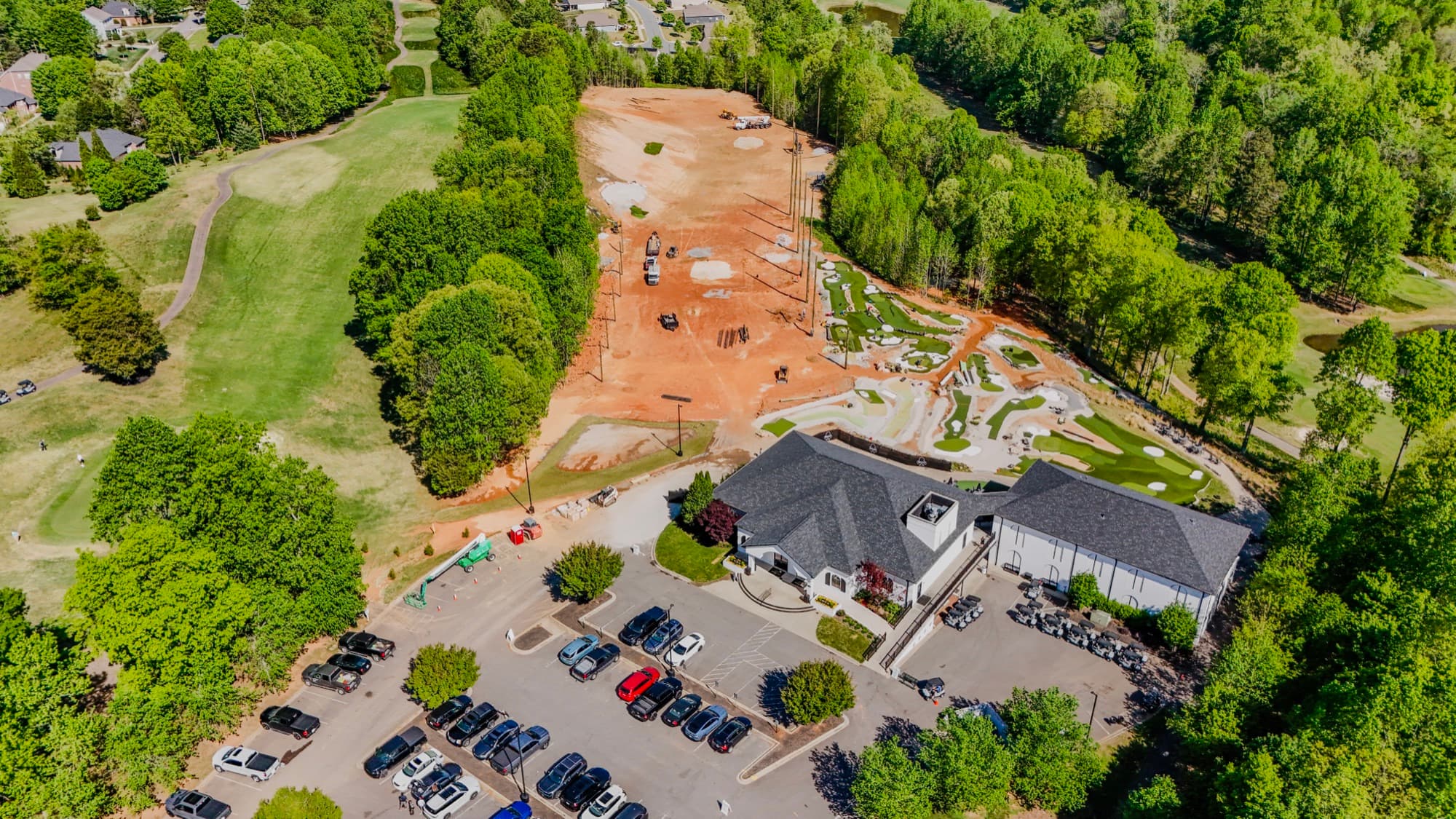
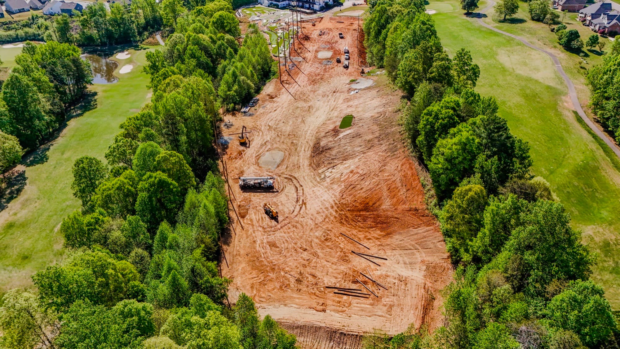
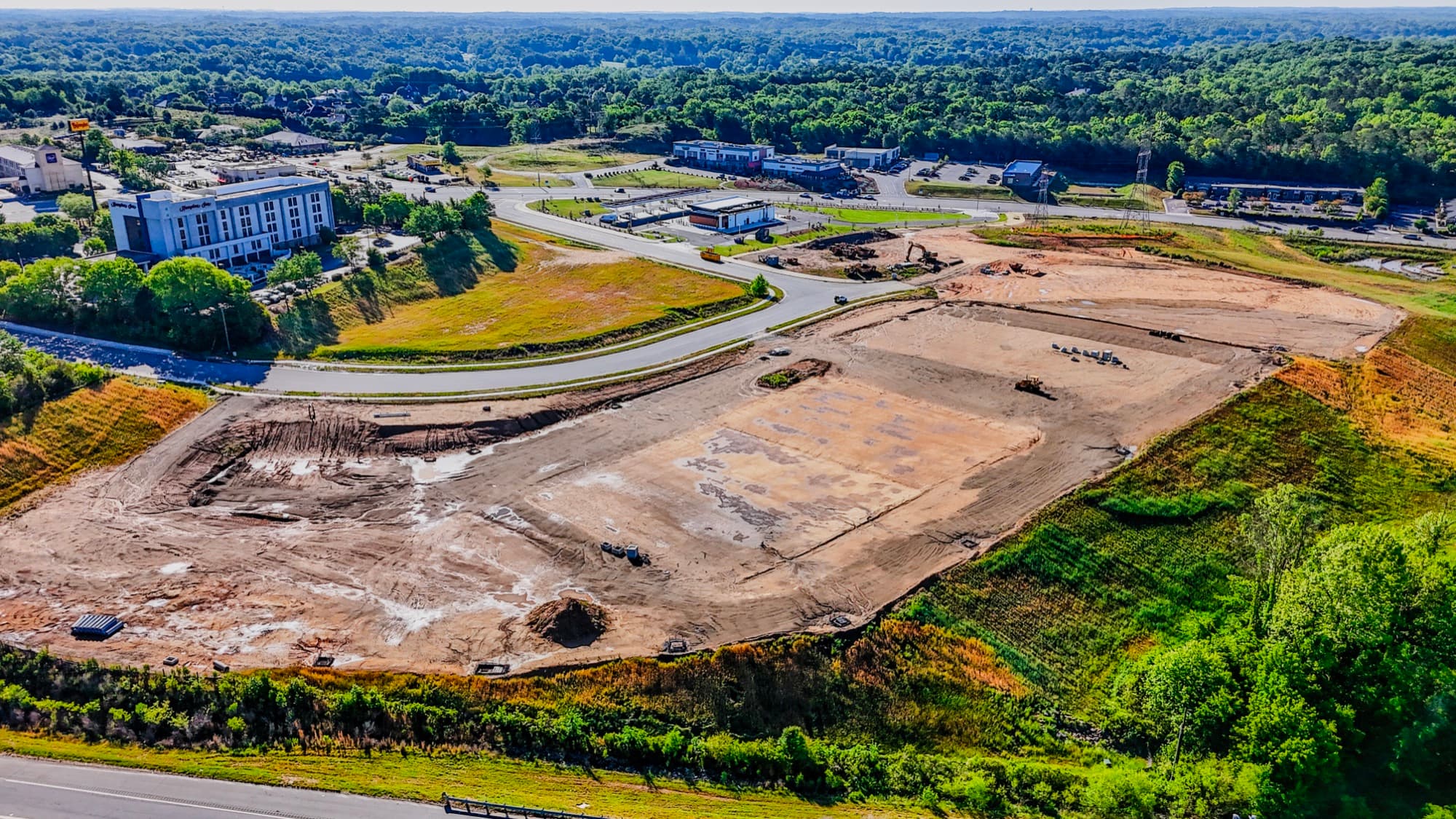
Progress documentation is a series of planned flights over one project as it goes from red clay to finished building. Not a one-off photo. I shoot the same site from the same angles and altitudes on a schedule, so you can scrub through months of work in seconds and see exactly when the pad went in, when the foundation was poured, and when framing topped out.
If you're juggling several active sites around Charlotte, these flights replace scattered texts and ground-level snapshots with one dated visual record. My background is in site planning, so I keep the camera on what your team tracks: access, staging, grades, and the corners of a build that are easy to lose from the ground.
Why Charlotte builders and developers use it
A busy job site changes faster than a written update can keep up. Recurring aerials keep everyone aligned. Owners see real movement without a site visit. Lenders get dated documentation they can attach to a draw request. And when a punch-list dispute comes up over when something was or wasn't in place, the answer is sitting in the archive with a date on it.
The library keeps paying off after the build, too. Those early frames of bare dirt become the before shots in your marketing once the project delivers. Every flight runs under FAA Part 107 with full insurance, so the record is captured legally and professionally.
How I capture and deliver progress
We start by picking a cadence that fits the build. Weekly, biweekly, monthly, or tied to milestones like a foundation pour or topping out. I map a flight plan with repeatable vantage points so the imagery compares visit to visit instead of being a different view every time. Each flight covers the full site plus anything your team flags ahead of time.
After the flight I color-correct the stills and cut the video myself, then send back finished files you can drop into a report or share with stakeholders the same day you get them. As the project moves, the archive grows into a complete before, during, and after timeline.
What you get
- Edited aerial stills of the full site plus any focus areas you flag, captured every visit
- Finished aerial video clips, color-graded and ready to share
- The same vantage points flown the same way each visit, so frames compare side by side
- A growing timeline that runs from raw dirt to completion
- Fast turnaround after every flight so reports and draw requests stay current
- FAA Part 107 compliant, fully insured operations on every visit
How it works
- 01Set the cadence and flight plan
We pick how often I fly (weekly, monthly, or by milestone) and map the vantage points and focus areas your team cares about, from staging and access to the building envelope.
- 02I fly the site on schedule
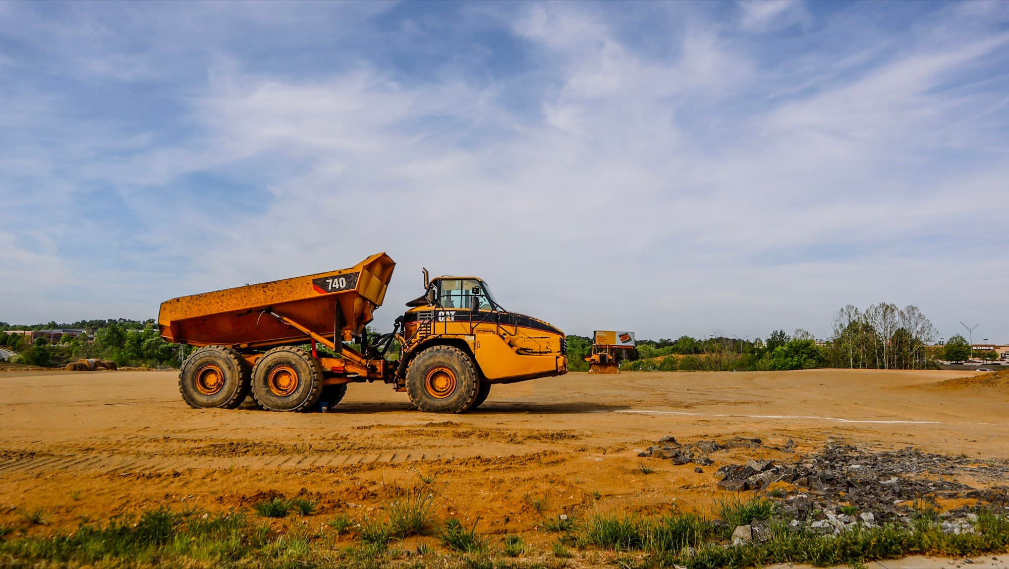
Each visit I shoot from the same angles and altitudes, under FAA Part 107 rules and full insurance, every time.
- 03Edit and deliver fast
I color-correct the stills and cut the video myself, then get finished files back to you quickly so the record is current when you share it.
- 04Build the timeline
Each flight stacks onto the last. You end up with a dated archive you can scrub through for progress reviews, draws, inspections, and marketing at completion.
Construction & Development Progress FAQ
How often should we schedule progress flights?
Depends how fast the site is moving. A lot of Charlotte teams fly monthly for a steady record, go weekly during active phases, or add flights at milestones like a foundation pour. We'll set a cadence up front, and I'll keep the vantage points consistent so every visit compares cleanly.
What do we actually receive after each flight?
Finished files. Color-corrected high-resolution stills and edited aerial video of the full site, plus any focus areas your team flagged. They're ready to drop into reports or send to owners and lenders without extra production work.
Is drone work over an active construction site legal and insured?
Yes. I fly under FAA Part 107 certification and I'm fully insured, so every flight over your site is legal and professional. The compliance side is my job, not your team's.
How fast is turnaround on the footage?
Faster than you'd probably expect. I edit everything myself right after the flight, so the files reflect the current state of the build when you need them for reports, draws, or updates.
What areas do you serve?
I'm based in Charlotte, NC and cover the Greater Charlotte area. Reach me at shane@sqoskyworks.com or (704) 783-6767 to confirm coverage for your site and set up a cadence.
Why does flying the same vantage points matter?
Consistency is what turns photos into a timeline. When I shoot from the same angles and altitudes each visit, the frames stack like a flipbook and you can see exactly when each phase moved. Mismatched views can't do that.