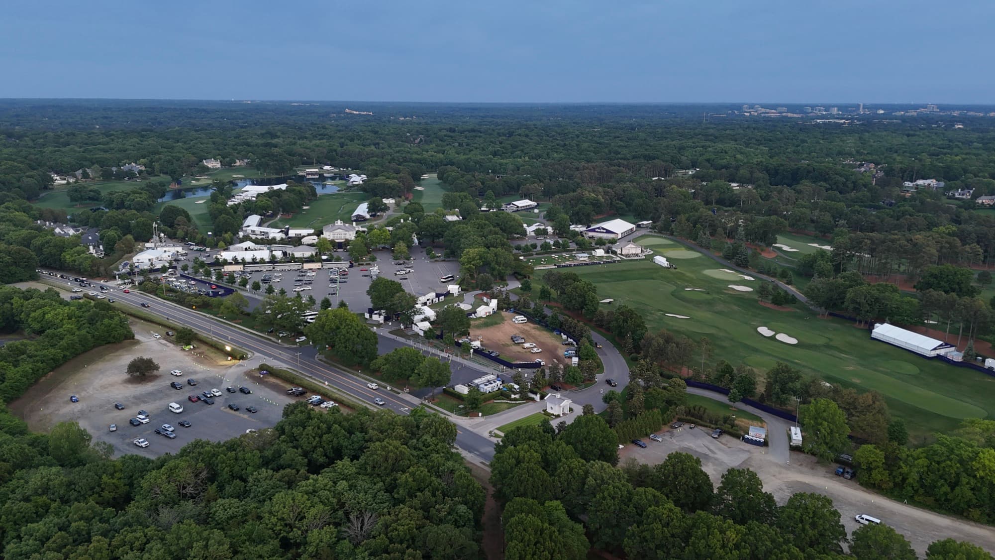
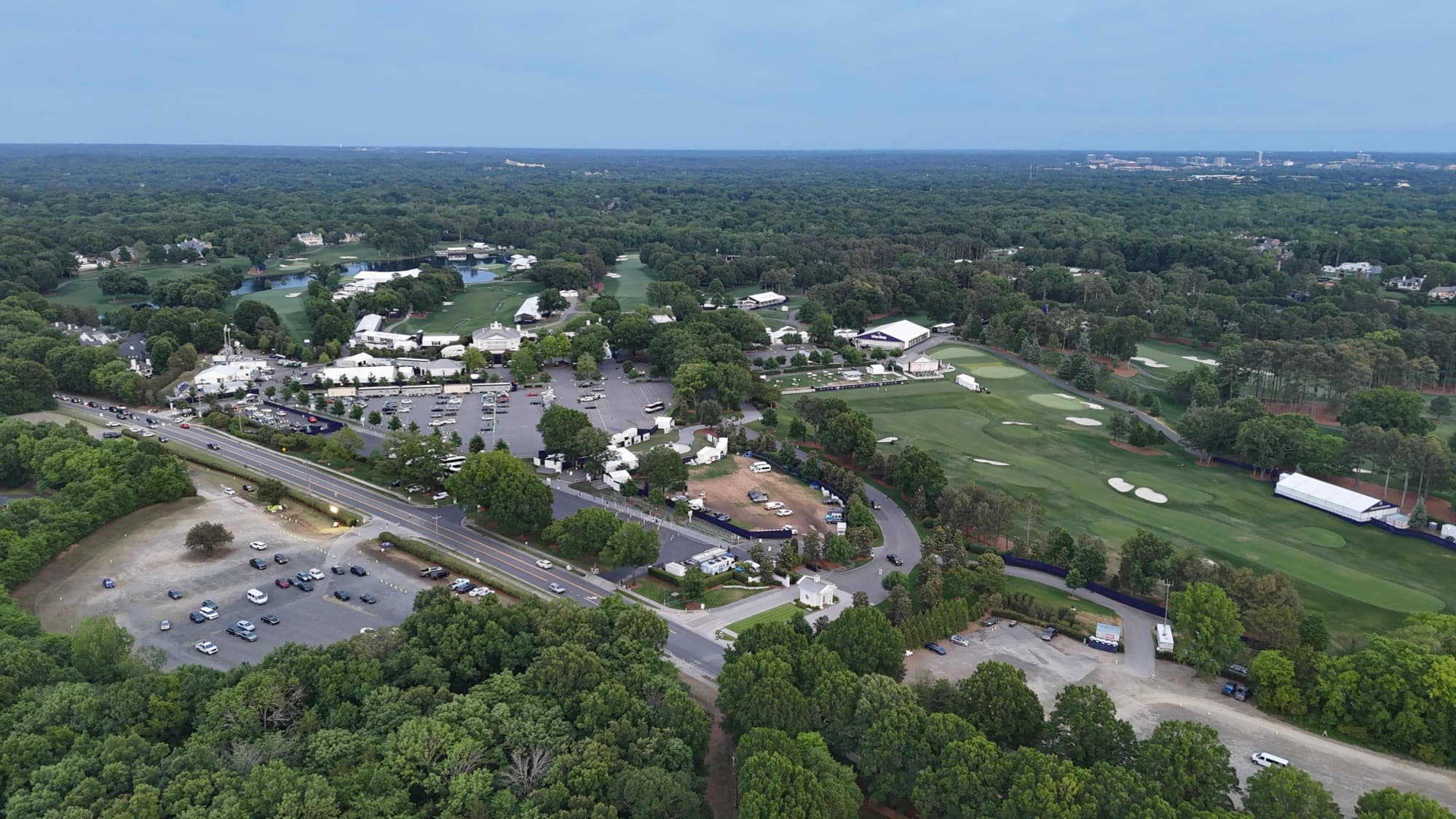
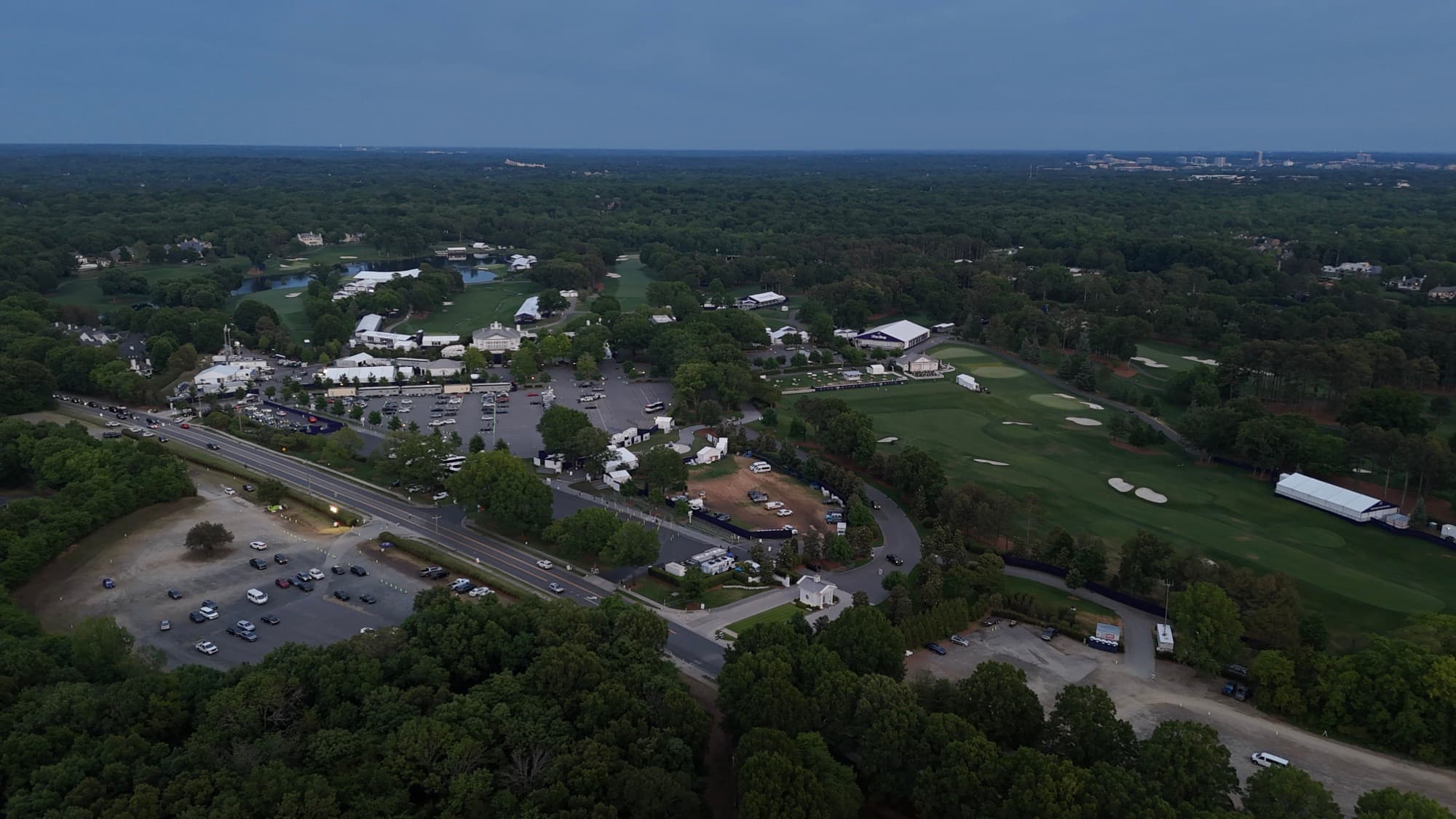
I spend a fair amount of time in Ballantyne, mostly around the corporate campuses and the newer development pushing toward the state line. Office properties down here photograph beautifully from the air because the landscaping, the ponds, and the parking all read as one composition. Whoever planned those campuses knew what they were doing.
Residential work has a similar appeal. Golf course lots and master-planned streets make sense from altitude in a way they never do from a car window. Builders bring me back for recurring progress flights, and brokers use the stills to show tenants exactly what surrounds a space. Every flight gets planned around the airspace first, then the light.
Ballantyne sits at the south end of my regular Charlotte coverage, and I'm down this way often enough that scheduling is simple. I also cover nearby spots like Blakeney and on out toward Waxhaw and Indian Trail.
What I fly in Ballantyne
Ballantyne drone services FAQ
Do you offer drone services in Ballantyne, NC?
Yes. I fly Ballantyne regularly, from the corporate campuses to the residential streets around them. Aerial photos, video, site documentation, and mapping are all on the menu.
What types of drone services can I book in Ballantyne?
Commercial property aerials, real estate photography, construction progress tracking, mapping and site surveys, marketing video, and event coverage. Tell me what you're trying to show and I'll suggest the right approach.
Are your Ballantyne drone flights FAA compliant?
Yes. I'm an FAA Part 107 certified remote pilot and fully insured, and I check the airspace for every Ballantyne address before I commit to a flight plan.
What will I receive after a drone shoot in Ballantyne?
Finished photos and video, edited by me. No raw dumps, no waiting on an outside editor. Turnaround is quick.
How do I request a quote for drone work in Ballantyne?
Email shane@sqoskyworks.com or call (704) 783-6767. Give me the property, the goal, and your timing and I'll put a quote together.