Drone services for the Greater Charlotte Area
FAA Part 107 certified aerial work for properties, development, and marketing. I plan every flight around what your team needs to see, then hand over edited, delivery-ready files.
Site Documentation
A dated aerial record of your property, flown legally and edited by me, that shows exactly how the site stood on a given day.
Learn more →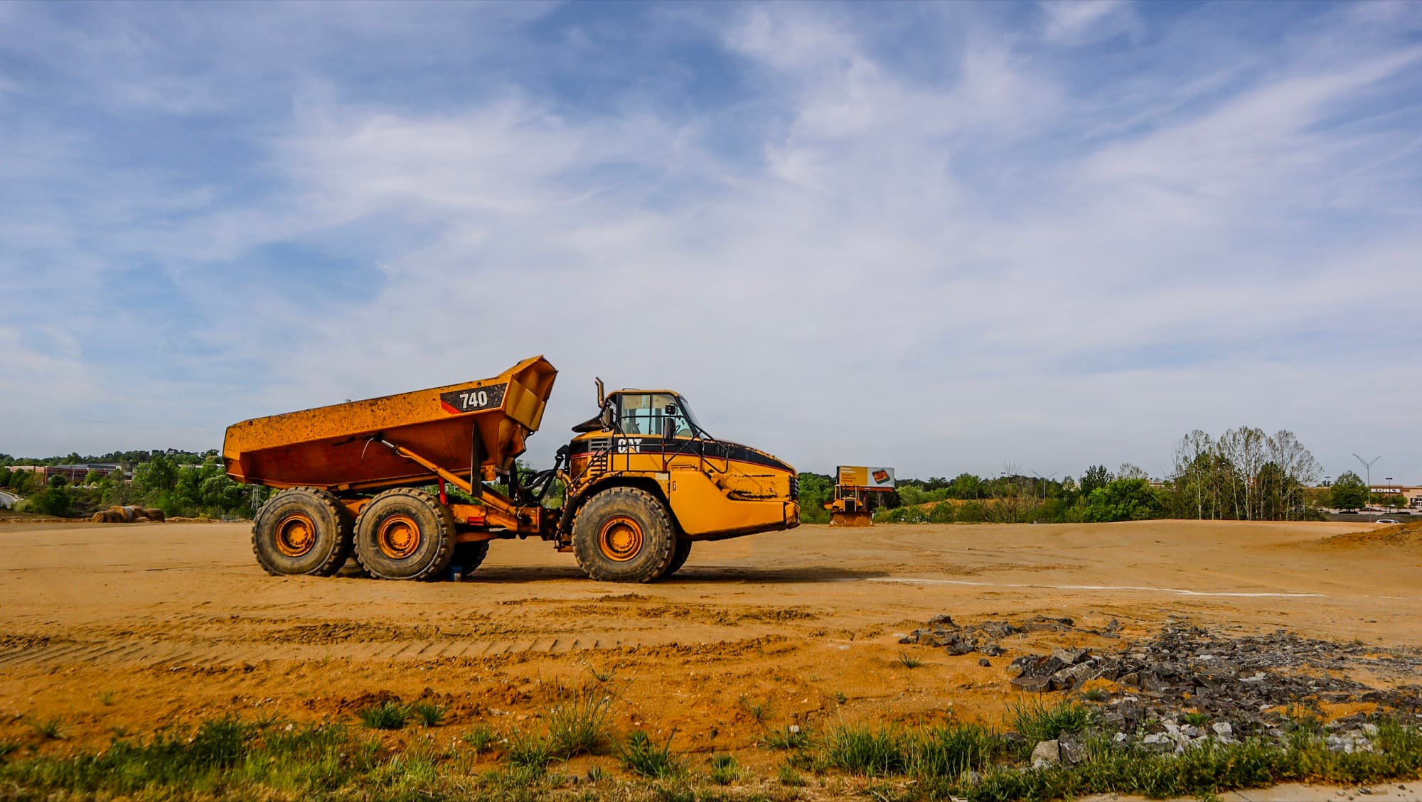
Construction & Development Progress
Scheduled flights over your build, shot from the same angles every visit, so the whole team watches the project come together.
Learn more →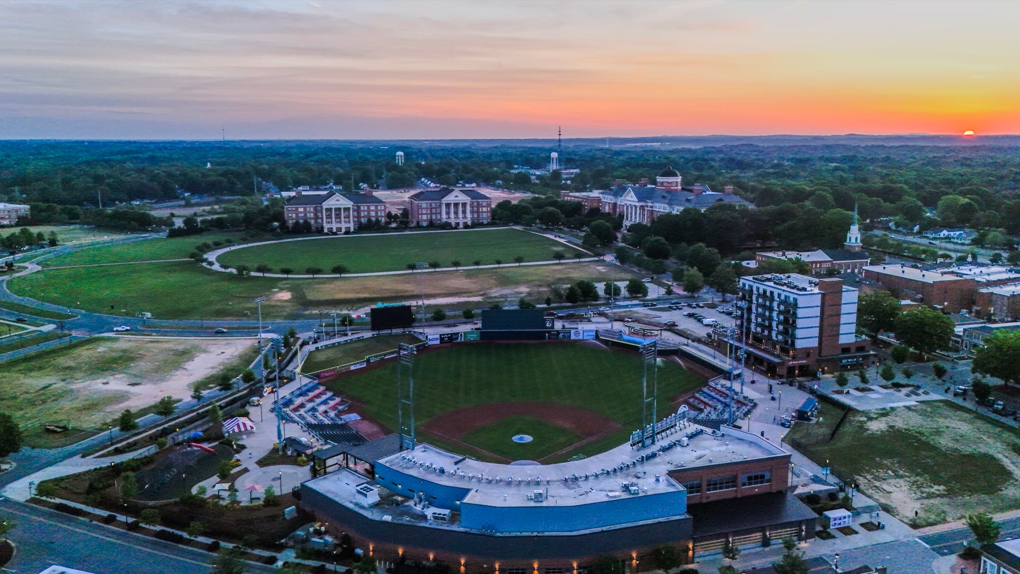
Marketing & Visual Media
Aerial photos and video, shot and edited by one guy who cares about light, that make Charlotte brands and properties look right.
Learn more →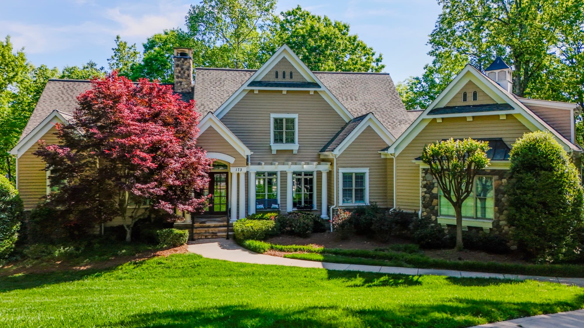
Real Estate Aerial Photography
Aerial photos and video that show buyers the whole lot, the neighborhood, and why the listing is worth a showing.
Learn more →
Aerial Mapping & Site Surveys
Grid-flown drone mapping that turns a Charlotte-area parcel into accurate, measurable aerial data you can plan and build from.
Learn more →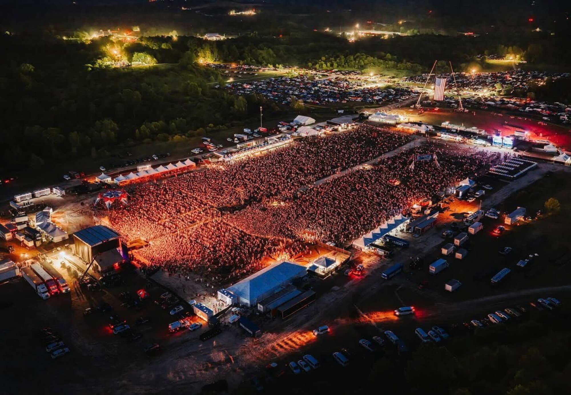
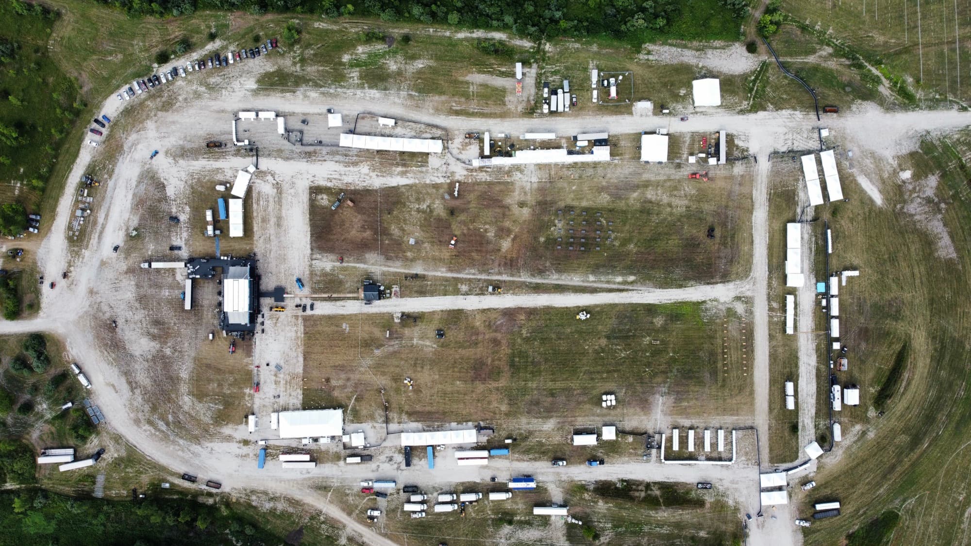
Event Aerial Coverage
Drone coverage that catches your Charlotte-area event from the one angle nobody on the ground can get.
Learn more →